|
| A windy day in New Mexico |
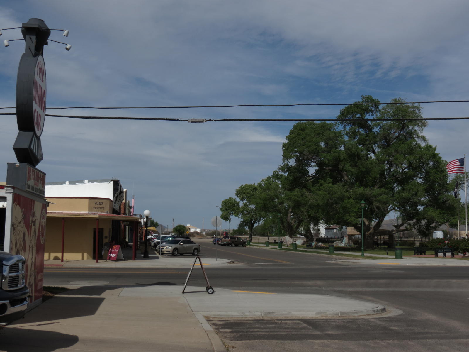
One of my Arizona neighbors suggested that I could listen to podcasts and/or audiobooks all the way across the country. I told her I usually have the radio off on long trips, but that sometimes I sing as I drive along. One of the songs from “The King and I” was in my head all across New Mexico, finally ceding place to an old pop song or two. And then came “The Red, Red Robin,” which I like to perform (mostly to myself, in solitude) in a slow, plaintive, bluesy rendition. Often, though, the songs were playing only in my head, over and over, and anyone seeing me at the wheel would have noted nothing more than silent stoicism or perhaps a few escaping tears, because everything the Artist and I had seen before triggered memories, and I missed him every minute, every mile. This trip was, for me, a kind of pilgrimage but not to one particular destination: the entire length of the journey was its point.
 |
| Sunny was seeing this picturesque ruin for the first time. |
 |
| Vaughn, NM: Position still not filled? I could do that! |
My route on Day One took me east on I-10 from Willcox to Las Cruces, 70 through the San Augustin Pass to Alamagordo, and then U.S. 54 to Tularosa and on to Santa Rosa, New Mexico. The stretch from Tularosa to Santa Rosa became a favorite road for the Artist and me, starting with the first time we traveled it (top photo of this post is from that stretch), and since Santa Rosa was also a favorite New Mexico town, it made sense to stop there for my first night.
 |
| Evening in beautiful Santa Rosa, NM |
Little Sunny Juliet and I covered over 450 miles that first day and 515 miles the second day, finishing up Day Two with a visit to a big, beautiful dog park in Winfield, Kansas.
And if the name “Kansas” brings to your mind a flat, empty, boring landscape, you don’t know Kansas at all. I left U.S. 54 at Meade and dropped down to U.S. 160, a very narrow two-lane road but very light on traffic and heavy on gorgeous scenery. Often the road ran straight ahead of me to the distant horizon, but it had many deep, rolling dips and rises that it reminded me of ribbon taffy. The vistas off to either side were monumental and breathtaking, too; unfortunately, without any road shoulder, pulling off to photograph the land was close to impossible. Just think for a moment about all the hill regions of Kansas: Red Hills, Flint Hills, Sand Hills, Gypsum Hills – and those are only the ones I know. There are more.
The morning of Day Three began well – but then! – well --!
 |
| Getting a tow |
 |
| At Duke's Alignment & Tire, Winfield, KS |
Well, the good news was that (1) I carry AAA road service; (2) I was still in Winfield, a town large enough to have towing and tire services; and (3) though I had bought four new tires in Arizona before leaving (and was not happy to have ruined one of them so soon!), I had also given car room to one of the old tires so I would have a real spare in case I needed it. So while I lost three hours of travel time that morning, the situation could have been much, much worse, and I was grateful to Cole, the young guy who handle the big towing rig so easily, and to Duke, the guy who got me in and out with my spare mounted as quickly as he could. And as I've said, Sunny and I had visited a fabulous dog park in Winfield on Monday evening, and we made it there again before the tire incident, so we were pretty well pleased with Winfield overall, and I had no regrets about my chosen route.
 |
| Winfield was very, very good to us. |
Tuesday afternoon did not see us covering us a lot of ground, either, what with construction stops and detours, but this is how it goes sometimes on the road, and once I gave up the idea of making any kind of distance record for the day, I found myself stopping over and over with my camera. Because, why not? (And bear in mind that the photographs I take with my camera are only a small fraction of the ones I see to be taken but drive right by.) For instance, when I stopped to text my sister that I was finally in Moline, Kansas, she texted back that the oldest swinging suspension bridge in the country was there. I looked up and saw a sign on the other side of the road directing me down a side street to the bridge, and here it is. The road itself was originally a Cherokee trail. It seemed well worth the time to make that little detour.


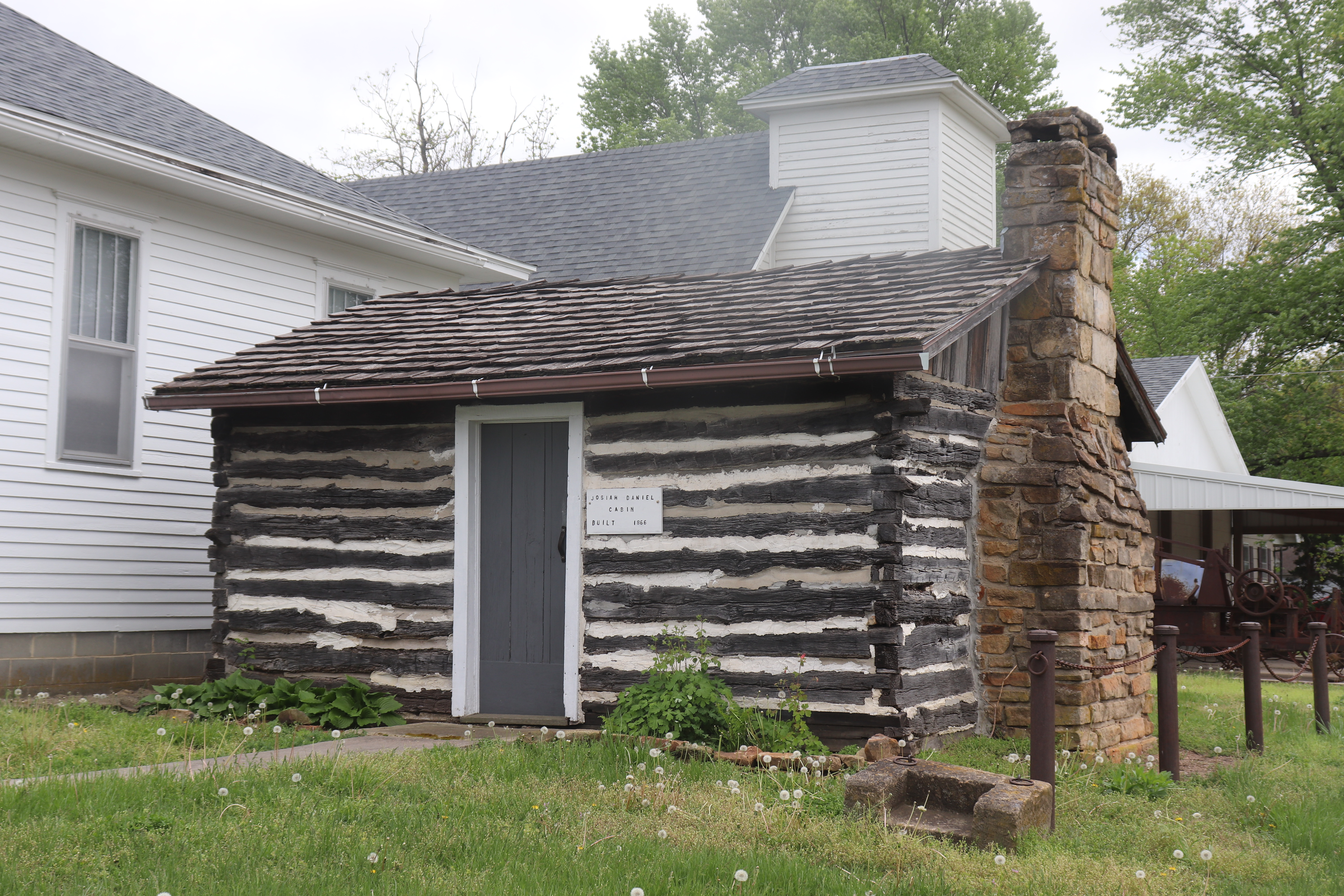
What town was I passing through when this cabin caught my eye? Surely I made a note of it in my road atlas....


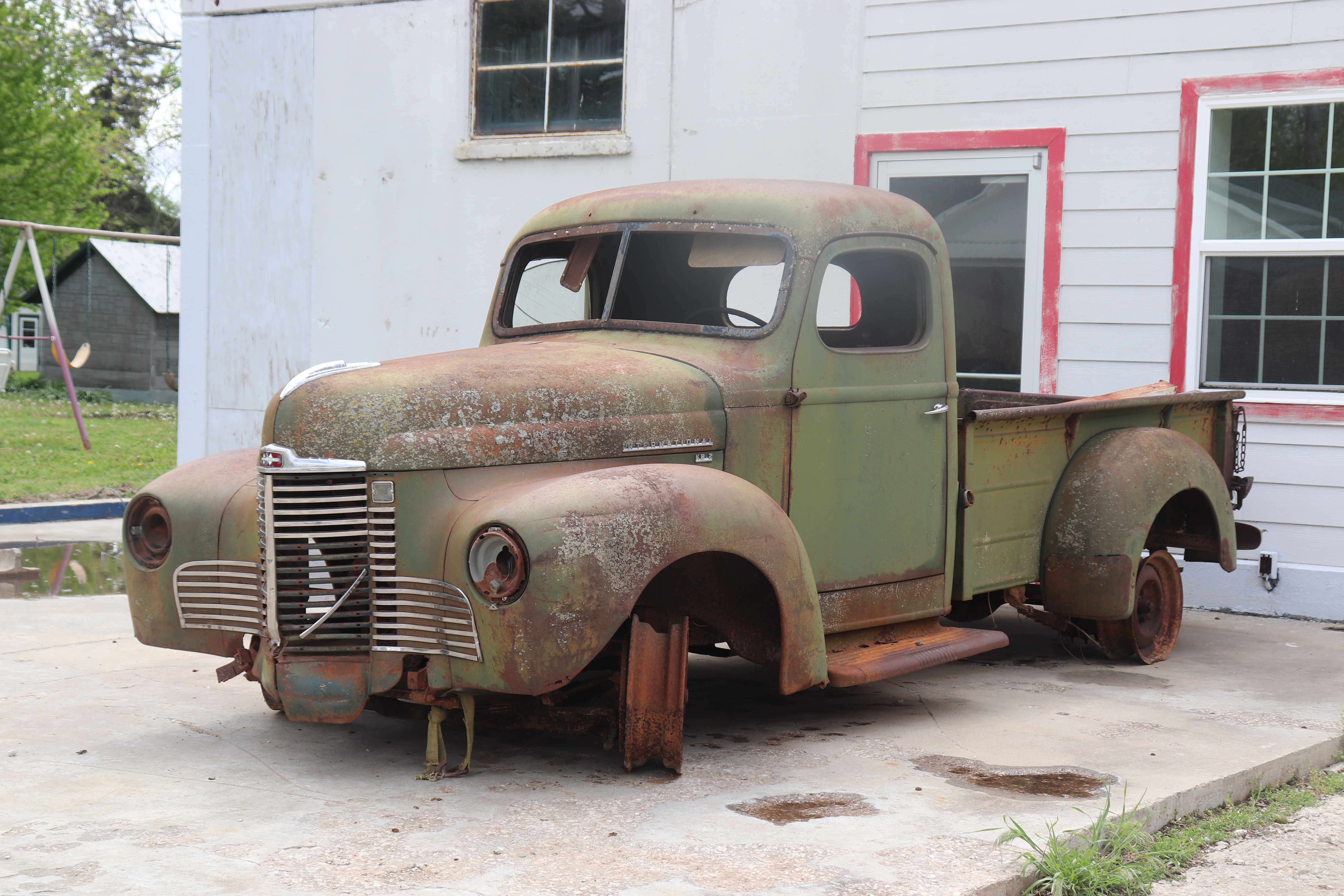
Right across the street from the old log cabin was this very photogenic old truck.
And who wouldn't have stopped for a picture like this?

Eventually, of course, despite the tire problem, road construction stops, detours, and numerous photo opps, the puppy and I made our way across Kansas to and across Missouri. Redbud trees in bloom against spectacular rocky road cuts, and U.S. 54 rolled for many miles as a limited access in Missouri, divided highway rather than two-lane, making for easy cruising; however, I didn’t mind at all the twisting, curving two-lane stretches that preceded and followed the easier divided road. Day Four would be an easy distance: El Dorado Springs, Missouri to Springfield, Illinois, and so, reaching Louisiana, Missouri, by noon and knowing I was only about an hour and a half from Springfield, I decided to explore the town of Louisiana. I had an ulterior purpose. Because --.
The Artist and I crossed the Mississippi River together many times. We crossed often at St. Louis, which I always considered a “nightmare,” due to very heavy traffic and all the converging and intersecting expressways at that point, a true crossroads of a very busy country, all of whom seem to be on the move when you are threading your way through that maze. My preference was to cross at Hannibal. The river town famous as the birthplace of Samuel Clemens draws heavily on that history for its tourist business, but it’s still a small town, and the last time we came through there we explored around a bit and had lunch rather than simply rushing through.
Louisiana was a different story.
The only time we crossed the Mississippi at Louisiana, Missouri, we were on our way east. I was at the wheel, and when I saw that very old, very narrow, old iron bridge ahead, all I could fixate on was getting safely across it! The Artist said, too late, that he would have liked to see something of the town. “Do you want me to go back?” “No, we’ll save it for another time.” But “another time” never came, and so this time I would see Louisiana for both of us.
…Comes into my mind now another song, “The Water Is Wide,” an old Celtic folk song. Ah, my love and I! Our love never waxed cold, never faded away....
What do I do in the car besides sing, silently or aloud? On this trip, I shed many tears. Not only for shared memories that are now mine alone, but for sights my love and I thought we would have time to see but never did see together. How he would have loved this river town, too! As my emotions ran a rollercoaster gamut, over and over, from excitement to pangs of grief, I kept turning corners in Louisiana, Missouri, and going around blocks and exploring farther and farther from my designated route, jumping out of the car over and over to photograph scenes I wanted so much to share with my beloved partner, the Artist. -- So many scenes that I am going to put them in a separate post and leave this one with an image of dogwood in blossom in the soft Illinois prairie rain. Good night for now.
 |
| Dogwood blossoming in the prairie rain.... |