On
Interstate highways, I feel my age. By contrast, the old U.S. routes carry me
back to the 1950s.
On
Interstate highways, I feel my age. By contrast, the old U.S. routes carry me
back to the 1950s.
Two-lane
roads through small Midwestern farm towns, where the tallest buildings are water towers and grain elevators, surrounded by wide fields stretching to the horizon, remind me
of trips back to Ohio every summer to visit grandparents. My mother would pack a meal for us to enjoy somewhere along the way: balogna and cheese sandwiches, fresh fruit,
lemonade, a packet of crunchy corn chips (Fritos), and
homemade cookies, usually chocolate chip. We would stop at a little roadside rest area and have lunch at a picnic
table. I was telling David about this as we drove through Kansas, and he in turn recalled a cross-country trip with his parents one summer, from Michigan
to Colorado, when daytime temperatures were so high that dozens of cars would
stop to let passengers take refuge in the shade of a single tree. Naturally,
from there it was a short step to comparing our childhood cowboy/cowgirl
fantasies. What with new sights and old memories, one never runs out of
conversation on the road....
 |
| Roadside park, somewhere in Kansas |
Thursday,
I think it was, we left Liberal, Kansas, having driven there the day before
from Santa Rosa, New Mexico, cutting off a little corner of Texas and slicing
through the panhandle of Oklahoma on the way, making an unusual (for us)
four-state day. Liberal bills itself as the Land of Oz, and down the road from
our motel was Dorothy’s House and the Coronado Museum, although what the two
have in common we did not find out, because, making an uncharacteristically
early start east the next morning, we continued on U.S. 54 with my questions
about Liberal unanswered. Is it really? That is, liberal? Or is it the Land of
Oz?
 |
| Business closed along the old road |
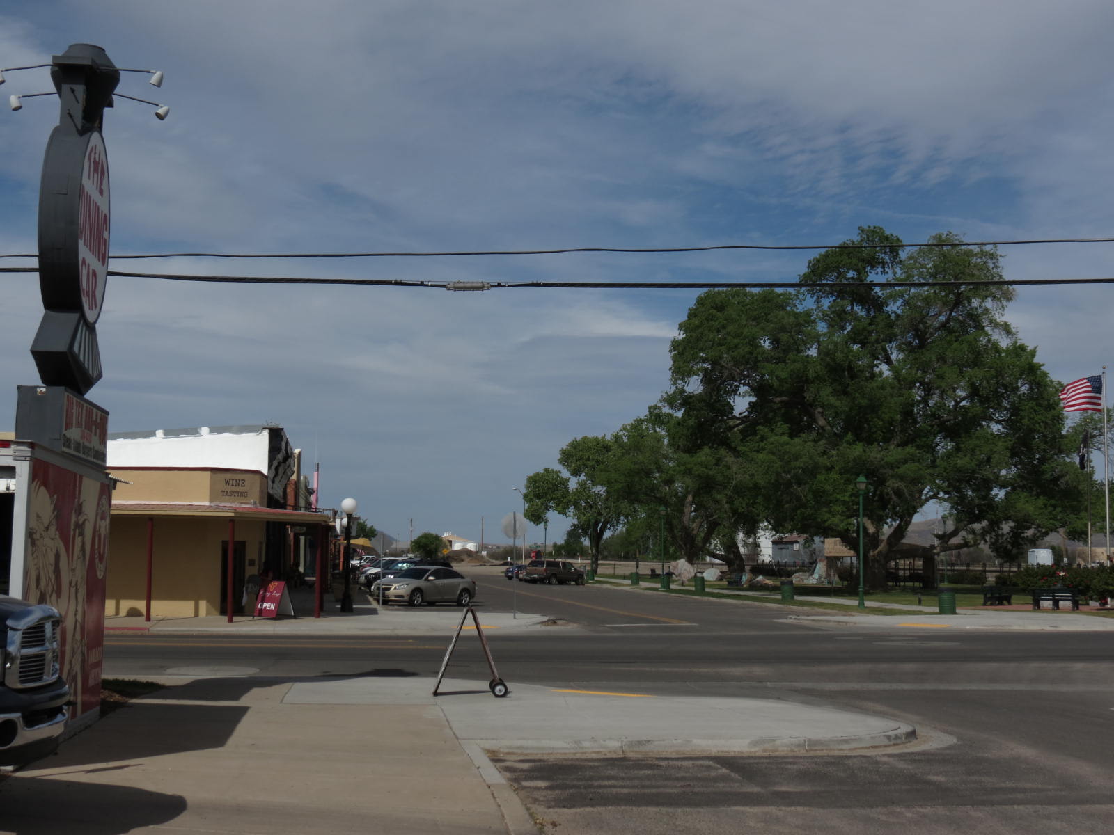
Eastward
lay a series of small towns, sometimes on the left and sometimes on the right
of the road, occasionally (my favorite) the highway going right down the main
street. Plains, KS, had a town hall, post office, library – but no cafe, other
than the gas station. Meade’s claim to fame was that the Dalton Gang had hung
out there, and Crooked Creek looked pretty. Again, however, no cafe.
Unfortunately for us, open cafes were in short supply. So all I was expecting
and hoping to find in Greensburg was a town large enough to support a place to
get a good cup of coffee.
Greensburg
is that and much more.
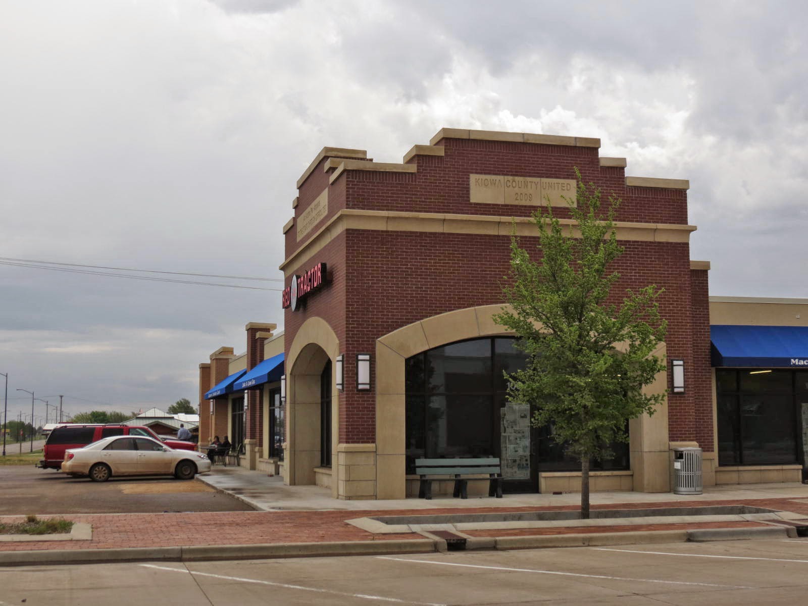
The
first striking feature is the age of the buildings. It’s
like seeing a brand-new business district set down in the middle of farm country or a modern-looking
suburb with no adjacent city. Is this, perhaps, the true Kansas Land of Oz?
The
obvious explanation is the correct one. In May of 2007, an EF5 tornado hit
Greensburg and hit it hard. Every downtown building but one was destroyed.
Eleven or twelve people were killed. (Town brochure says 12; online fact sheet
says 11.)
Naturally,
the community rebuilt, because that’s the American way of things, but what’s
different and fascinating about this story is the way they went about it -- by deciding to live up to their name, by going green. Greensburg
now leads the world in the number of certified LEED buildings per capita.
That’s Leadership in Energy Environmental Design.
We found a cafe with great coffee, and it was almost noon by then, so we shared a
big, fabulous Reuben sandwich, too, as good as you'd expect in New York. Then we took a walk down Main
Street to check out the single downtown building not destroyed by the tornado. The Robinett Building houses
an antique store and is still owned – the building renovated since the storm – by the couple
who had it back then.
Erica Goodman showed us a photograph of the building the
day after the tornado (having been through one in Kalamazoo in 1980, we have
some idea of the trauma, although Kalamazoo was not practically wiped off the
map like Greensburg), and David visited with her while I put together a stack
of old books to buy. You can see from these photos the beauty of Erica’s store. She's there behind the counter, too, if you look real hard at the photo below.
Greensburg
and its history were an eye-opening surprise along the old road. Ad astra
per aspera,
the town’s newly adopted motto, is most appropriate, and we vowed to return
another time to tour Greensburg in depth, because there is so much to explore
in this valiant little community, starting with the Big Well historical museum.
The
next day, from Emporia, Kansas, to the Illinois state line, we did a lot of
steady turnpike and expressway driving, except for one scenic dodge off the
main road onto old U.S. 40. We took this side road because I was worried we
wouldn’t see much of the Missouri River from the expressway, and that’s really
all I had in mind – seeing the river. As with merely looking for a cafe the day
before, however, what we found along the river was much more than anticipated.
 |
| Visitor Center |
The
origin of the name of the “Boonslick” region is not Boon-slick, as I first thought,
but Boone’s Lick,
from the place name in the old days as the Eastern terminus of the Santa Fe Trail. Boonville is also an important historic railroad town. At one time 50
passenger trains a day coming through? Is that possible? So we were told.
And
did you know this? I’m quoting from a historical marker in front of the visitor
center:
Caboose is a nautical term of Dutch origin that means “ship’s
galley.” This “galley,” with its makeshift crow’s nest (called a cupola), was
an essential part of trains as early as the 1840s. Modern technology began to
replace the duties of the brakeman and watchman in the 1980s, and today,
cabooses are rarely used for more than exhibitions.
The
origin of the term ‘caboose’ was new to me; the disappearance of the caboose,
sadly, was not. All winter we saw miles and miles of trains crossing the
Southwest, and instead of a caboose on the end, there would be one or two or
three extra engines. I’m still not used to that, but my railroad background and thoughts about and images of trains are a story for another day.
 |
| Future planned Boonville Historical Museum building |
On
the advice of a pleasant, very informative woman at the visitor center in the
old train depot, we sought out Hartley Park to enjoy beautiful Missouri River
vistas and to read the historic markers about Lewis and Clark. (Sarah enjoyed
her walk in the park, too.) There were delightful little colonies of mayapples
and foot-high chestnut trees on the cleared slope down to the river. Very satisfying! That is what I call seeing the river, not just
passing over it in under a minute, with barely a glimpse!
 |
| Missouri River and flood plain |
The town is interesting in itself, and we saw just enough to realize we did not have
time to see anywhere near enough. Like Cincinnati, it features many old
German-style brick buildings, everything overall much older than towns in the
same region farther from the river. The Missouri, like the Ohio, an old river
town, is an American Midwestern “borderland,” neither North nor South but with
a character all its own. Small wonder that Smithsonian Magazine chose Boonville as
one of its top ten small towns to visit in the whole United States. (Traverse City is on the list this year, too.)
But I’ve
saved what is perhaps the biggest surprise for the last: The Boonville area is
also home of the Budweiser Clydesdales breeding farm! Need I say more about the
town’s attractions? We
did not
get to see the horses – no time, and tours are booked up way into the future –
but just knowing they were there was exciting to me. So, another time! We shall
return!
Kansas
and Missouri are full of fascinating and beautiful sights, scenes and stories.
“What a country!” David had been exclaiming, all the way from Arizona. He commented
at one point that it would be so much easier to “hop on a plane" (would that
air travel were that simple!) and fly from Chicago to Tucson in a matter of
hours, “but then we would have missed all this!” At the same time, we knew we
were seeing only bits along one thin west-east corridor and not even that in
depth. How much more lies to the north and south of what we saw! Thinking about
how much more there is naturally led us to thoughts of reincarnation. Neither of us could imagine any better place to have an “afterlife” than right
here on beautiful Earth -- but maybe, we agreed, in the past rather than the
future. The past, after all, would not be entirely unfamiliar: from history and
art, biography, painting, photography, one would have some handholds on life if
transported into the past, while the future could only be full of strangers.
How about you? If
you could travel through time, “Back to the Future,” that is, which direction
would you take?