Search This Blog

Showing posts with label climbing. Show all posts

Monday, February 6, 2023

She Took No Books!


On Sunday I woke up crabby. The heater had gone off in the middle of the night, and the house was cold. Getting up to deal with that, I remembered another reason to be crabby: my coffee house in Willcox is closed. Not “on vacation,” but closed, its future dim with mystery. Source of Coffee, my David place in Willcox! The name, Source of Coffee, soon had me thinking about the Marcel Pagnol character Jean de Florette and his back-breaking and ultimately fatal trials in  Provence [movie review here but note an error in the telling: Ugolin is not Papet's son but his nephew]: When conniving neighbors block up his spring and all his farming efforts fail, he rages against God. It was, after all, the livelihood of his family, he had struggled manfully to succeed, and then, to be deprived of his source (spring)! All right, I know, I know – his deprivation and mine are hardly equal, but it was not yet 5 a.m., and I’ve already admitted to crabbiness.


With heat back on and fresh, home-brewed coffee in mug in hand, my livelihood not facing any new or unusual threats during seasonal retirement (just for the winter: I’ll be back at work in late spring), I felt better when I took Sunny Juliet out on her leash in the dark and saw a perfect moon preparing to set in the west and heard, at the same time, a mockingbird singing in the dark, not even waiting for sunrise to begin rejoicing in the day. 


It was early. I was up. But not in a reading mood. Scanned through a few Facebook posts, listened to a little news on the radio. I was probably as impatient as Sunny on Saturday to get outdoors for our morning walk, so once the sun was up, we started out east on the range. East from the cabin means uphill, then down into what I call Peasy’s Gulch. Then we usually go north to the wash and follow it east. 


It’s a fine walk, one that can stretch to an hour easily, what with investigations along the way (mine mostly visual, SJ’s mostly with her nose). But I was in the mood for a change of scenery, and Sunny is always amenable to a change of plan, as long as we’re still having a good time.


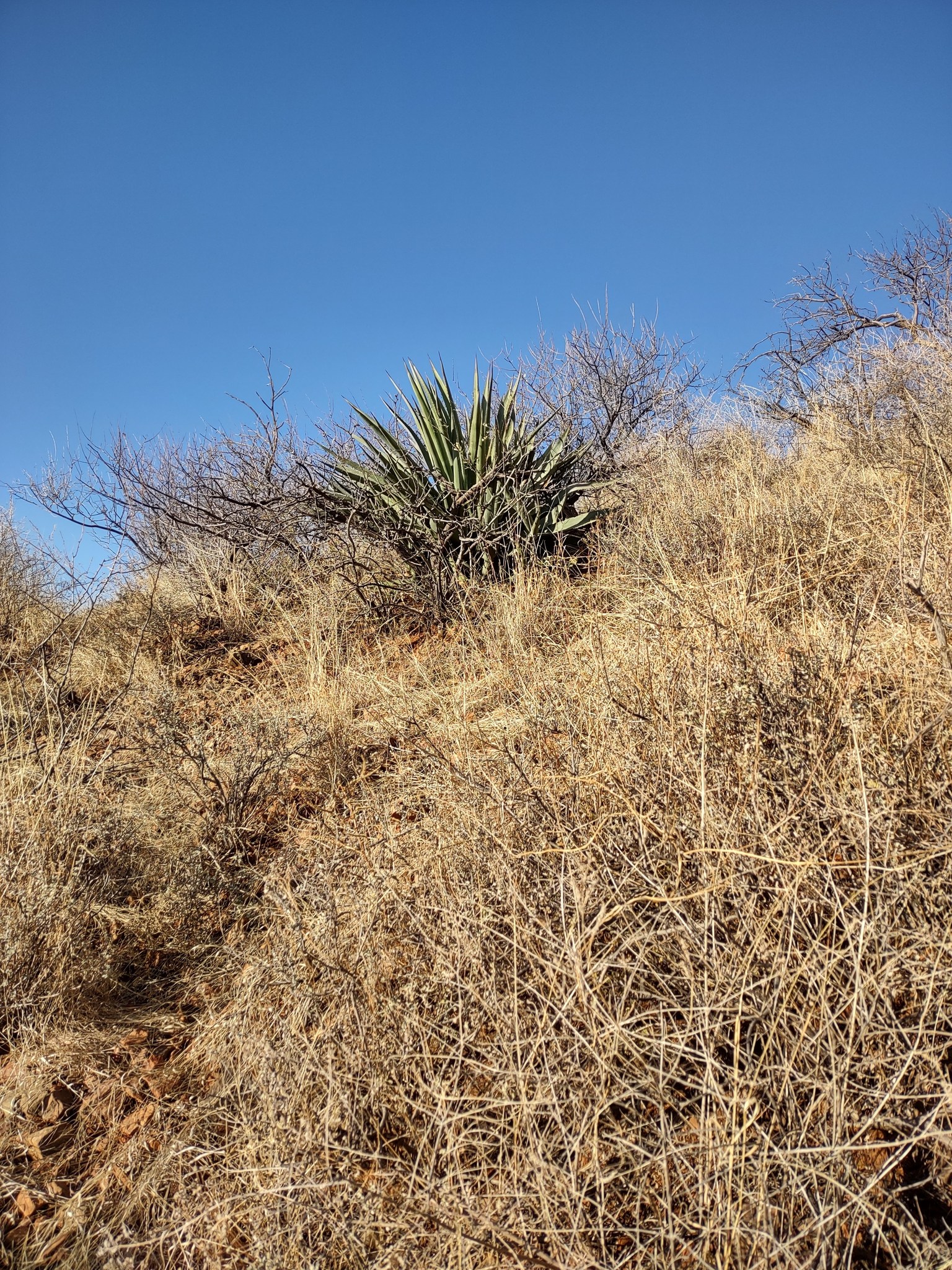
See the arrow in the image above, pointing to a little tree on the distant slope? Doesn’t look very high, does it? Not much of a challenge? Actually, there is no simple and direct path, and while the tree is much higher than it looks from afar, I’d always had it in mind as a destination “someday.” This, I decided, would be the day. 


My morning preparations for the walk had been nothing more than the usual list: leash, treats, water, keys, phone, hat. That’s it. I added gloves, since it had been chilly when we started out, but camera stayed home, as did all field guides. No books on hikes! One thing I learned about field guides when I hiked the Dragoons years ago with a friend is that they become increasingly heavy with every step. I can’t live without field guides – don’t get me wrong – but I’ve learned to photograph whatever I want to identify and look it up in my guides afterwards. Sometimes I carry a camera, as on New Year’s Eve for the Town Hill climb; otherwise, my phone has to serve camera duty.


In Dos Cabezas, in the mountains, foothills, and the ghost town itself, everything (as my hiking partner noted one day as we were driving the straight, flat Kansas Settlement Road) is “up and down.” In summer, when monsoon rains come to the Southwest, water floods the washes and carries downstream rocks, trees, and anything (or anyone) else that it catches up in its torrential flow. On lower ground, the washes in winter are broad, sandy, and relatively clear of obstacles, as if designed for walking, whereas on higher ground and steep slopes, the story is vastly different. There a wash originates as a gully, and there will be several gullies to every slope. Moreover, there is loose rock everywhere, along with shrubs with thorns and spines. -- And I'm coming back to add that there are also gopher holes, holes made by rooting "pigs" (javelina), and now, another neighbor warns me, abandoned mine shafts!


My destination that small dark tree to the northwest


Dark shade is first gully, from the destination side.


Having gone farther east than necessary before making the decision to climb, I had two major gullies to clamber down into and up out of on my way to that tree. Sunny negotiated them easily, but then, she has four legs and four feet and is only a year old. The second gully, in particular, gave me pause. (No, not paws! Please!) Could I do it? Without falling? I put on the gloves I’d taken off when feeling too warm in order to be able to grab handy branches along the way. On the upside of the gully, there was a cow path (quite surprising how good cows are at climbing steep slopes), and I made cautious use of their bovine wisdom. 


For reference: cows on a different hillside on a different day

For scale: same cows as above without the magic of zoom


On Saturday: my cowpath, up out of the second gully
 

My report, in brief: The climb, la montée, ça en valait la peine! Definitely worth the effort! The view of my little ghost town down there in the distance – even, between two local hills, a view out across the playa to the Dragoon Mountains and Cochise Stronghold – was worth every cautious, foot-dragging step that got me there, and it was very satisfying to stand under a tree I’d been looking at from my winter back door and imagining meeting “in person” since 2015.


View attained.

Tree up close.


From my new, lofty vantage point, I could see an easier route to take down than the one I’d used coming up. I’ll remember that for the next time I climb to the tree. I have also installed an altimeter on my new phone now, so when I make the climb again I’ll know exactly how much higher the tree is than the cabin down below, which stands at a mere 5,030 feet above sea level. – Not quite a mile high, the cabin, but that almost explains our freezing temperatures during these winter nights. 


Yes, a very satisfying adventure – and I rationed the water supply carefully so that a certain energetic little doggie would not have to go thirsty, either. We had a terrific time!


Sunday, January 1, 2023

Hill Climb with Puppy: New Year's Eve Morning


I climbed Mount Haguro on the third of June.


…


I climbed Mount Gassan on the eighth. I tied around my neck a sacred rope made of white paper and covered my head with a hood made of bleached cotton, and set off with my guide….


-      Matsuo Bashõ, The Narrow Road to the Deep North and other travel sketches


Bashõ’s travels (the last complete book I finished reading in 2022, #134) made appropriate reading for the morning of New Year’s Eve as I prepared to meet neighbors for their annual “climb to the cross” up on Town Hill, a summit on the ridge of foothills south of the highway. Sam and Dorothy operate Dos Cabezas Retreat, a B&B that is the ghost town’s only business; my hiking partner, Therese, decided to bring her new puppy, Yogi, along for the fun; and Bob, from down Kansas Settlement Road way, joined us, too. Counting Yogi, then, six of us started out together, but it wasn’t long before little Yogi had to be put in a backpack (worn in front) for the steep climb. 


“Don’t look down!” may be good advice on a ferris wheel, but I found stopping to look down and judge my progress immensely satisfying on this climb. Below is the view looking up from the side of the highway where I have my winter abode.


I had told myself and the others that I didn’t know if I could make it all the way but would try. As the climb proceeded, I revised my goal: I wanted to get as far as the saddle (that dip you see in the photo above, just slightly to the left of center), higher than the other time I tried the climb but shy of the summit. 


I shed my jacket and left it on a mesquite, determined to retrieve it on the way down. As a one-dollar Goodwill purchase back in 2015, that jacket has been invaluable as desert wear. It sheds thorns the way a duck’s back sheds water! So there it was, hanging on a branch, and every time I looked back down, I kept thinking at first that it was a cow – as once it was, I’m sure.


Reaching the elevation where bear grass flourished felt like a meaningful marker, telling me I had passed my old stopping place and was more than halfway to the top….


But I really wanted to reach the oaks! As I was nearing a large oak, focused on it, I could see none of my companions: Dorothy had decided to stop farther back, and the others were ahead of me and out of sight. 


By that point, every next step seemed almost impossible, but there was no way I would stop, so close to my goal – the saddle! And I made it! 


Surprise! There was Therese, who had decided the saddle was high enough for her to climb carrying her puppy. We were surprised to see each other (everyone else now out of sight, Sam and Bob over what was to us, from our vantage point, the crest of the hill, and Dorothy down below the brow) but happy to sit and rest and share fruit and laugh at Yogi, who decided she needed a nap – as if she had actually made the climb herself! 


From the saddle we could look down over the Sulphur Springs Valley spread out below to the south, with its familiar landmark buttes and distant mountains beyond. 


Nearer at hand were beautiful rocks and oaks I had never seen this close before -- these particular ones, that is.


Puppy Yogi went into the pack again for the trip down (Bob volunteered to carry the pack and pup down for Therese), but I have no more pictures of that part of the climb. For some reason, though the grass was no taller than it had been on the way up, the different angle of sunlight made it harder for me to see hidden rocks. Footing felt more treacherous. I only fell once, however, and Sam generously and patiently waited for me every step of the way down. “I never leave anyone on the mountain,” he said when I thanked him. 


Back at home, I could have used a good, long nap, but Sunny Juliet was having none of that! She had been left out of the Big Climb and was ready for some fun! Bedtime could wait until dark, as far as she was concerned! So yes, of course we went out for a walk and another one this morning, because dogs’ calendars do not recognize holidays: routine is what they like. And that is not necessarily a bad thing. 


My little live Norfolk pine Christmas tree did not need to be “taken down,” but I decided to remove its holiday decorations this morning in memory of my mother, whose rule was that the tree went up the week before Christmas and came down on New Year’s Day. 


There is some connection between tradition and routine, don’t you think? Just think about it. Or don't. As you like! It was rather a random thought....


We made it! We made it through another year! I made it thanks to family and friends and my little constant companion, a.k.a. my Italian motorcycle -- for those of you who remember that story....


Happy New Year from Sunny Juliet Aprilia Grath!


Monday, February 3, 2020

On the Ground in Apache Pass

Seasonally retired Michigan bookseller at ruins of Tom Jeffords's Indian agency

You’ve been with me to Fort Bowie before, when my first day on the trail with my sister brought many unexpected delights. This year I joined three neighbors, and they doubled the challenge: we would hike in both directions, returning not on the low country trail we would take in but by way of a high ridge. I was assured that the mileage would be no greater — 1-1/2 miles each way, for a total of 3 miles — and that surely I could handle it. After all, I’ve routinely been doing a couple of miles back in the neighborhood once a week or so on dog-walk mornings. 

Shade tree at Butterfield Stage station ruins
Therese at Butterfield stop
Because the trail we took in from the parking lot trailhead to the ruins was, for the most part, a repeat of last year’s story, I won’t go over every detail. A few, however, will serve to introduce my fellow hikers from Dos Cabezas. First is Therese (above), the day’s driver and my regular dog-walking companion back in the ghost town. 

Apache Spring
Ah, but already I need to slow down here (as I did so often on the trial!). About three-quarters or more of our way to the fort, my energy level was dropping. Double-checking, I asked Therese if we would stop for a rest break when we got to the fort, and she assured me that we would but said we didn’t have to wait until then. We were coming at that very moment to Apache Spring, a lovely, shady spot with a trickle of flowing water and some nice, big rocks for seating. The other two hikers (to be introduced shortly) were agreeable, and we slipped out of backpacks and dug out comestibles. The water was low enough that I had a chance to explore back almost to the spring itself and to see much more of that cool grotto than I’d seen before from the trail, and that was as satisfying as the rest and refreshment.

And now you meet Dorothy and Sam. These intrepid hikers and birders own and operate the Dos Cabezas Retreat B&B (sorry, they are booked solid for the next 26 days!), and they still find time and energy to put in plenty of volunteer hours in Cochise County. Last month they volunteered for the second year with the Wings over Willcox festival, and they have put in a total of about 40 hours (spread out over many weeks) right here at Fort Bowie, where willing hands under the supervision of a fifth-generation mason from Mexico are using old methods to stabilize what remains of the fort. 

Sam, Therese, Dorothy at gun shed ruin
Sam and Dorothy have worked on many sections, but this particular little ruin, this old wall section of the old artillery gun shed from 1890, is one for which they feel particular fondness. 

Volunteer ranger standing, Sam seated in rocking chair

Therese rocks!
The inviting porch at the ranger station/visitor center seduced us with its beautiful rocking chairs, and our second short break stretched to a full half-hour, as we caught our breath and rocked and visited with volunteer rangers who live the non-winter months of the year in Bozeman, Montana.


Climbing path
But soon it was time to take up the challenge! The trail up to and along the ridge! Our path up (new to me, remember) climbed and climbed and kept climbing, and the higher we climbed, the more spectacular the views. The layout of the fort ruins, spread out before our eyes so far below, looked tinier and tinier in the immensity of the surrounding mountains as we rose above it. 


Fort Bowie below us

Fort Bowie farther below
Looking San Simon way
View north
To our northeast lay the San Simon Valley, straddling the Arizona/New Mexico border, and to the northwest towered Government Peak, a mountain in our own Dos Cabezas range. In fact, from where we were, Government Peak was hiding the distinctive, more familiar, and, by us, much-beloved twin peaks from which our range takes its name. Apache Pass divides the Dos Cabezas and Chiricahua mountain ranges, and it's clear how welcome that mountain opening with its freshwater spring must have been to everyone traveling from East to West.

And oh, the vegetation! We made our way over hard rock and loose stones through a veritable forest of ocotillo wands. “Ocotillo likes limestone,” Sam remarked. And sure enough, on our way down, when we reached the fault line on the path — identified by a sign pointing to the line where sedimentary limestone is left behind and a subregion of igneous granite entered — ocotillo immediately gave way to beargrass, the two different plants keeping each to its own bedrock territory, with areas as distinctly marked off as Midwestern fields of corn and soybeans separated by a fence or hedgerow.

Beargrass region
Dorothy on trail
While I was almost invariably bringing up the rear, sometimes Dorothy lagged behind with me, and that was fun, because Dorothy has an eagle eye for spotting tiny natural wonders, such as an old praying mantis egg case on a branch or a baby cactus hiding under a larger, sheltering plant. 

Dorothy called our attention to this darling little baby cactus
Other times it was Therese who slowed her pace to be companionable. “I just love plants!” she exclaimed once, after the two of us had paused to delight in bright green ferns and patches of fruiting moss in moist cracks of rock shaded from sun, while Dorothy and Sam led the way ahead.

Therese spotted moisture-loving ferns in cool, shady spot
Sometimes, though, I stopped long enough with my camera that the other three grew small in the near distance ahead, and if a mountain lion had been stalking us, I would have been its dinner. But somehow that dire possibility seemed remote, and I enjoyed my quiet moments, too. I smiled gratefully and happily to myself, looking at my hiking companions farther up the trail and knowing with confidence that they were keeping tabs on me, too, and would miss me were I to slip on a loose rock and plunge off the side of the mountain!


The weather forecast for the day had foretold cloudy skies and temperatures in the 50-degree range. The longer we were out, however, the brighter the sun and the more layers of clothing we shed, and by the time we were on the road back to our ghost town the outdoor temperature had reached almost 70 degrees Fahrenheit. So will we have rain tomorrow? Will we have, perhaps, even snow? What will be, will be. Whatever the future, our happy quartet was brimming with contentment, even as we began excitedly planning our next outdoor adventure.
More rocks!

More mountain flora!
More open spaces!

When Therese dropped me off back at the cabin, the front door was wide open to let the sun stream in, and David and Sarah greeted me eagerly. “Did you two go anywhere?” I asked the Artist. No, he and our dog had stayed home, enjoying the day at the cabin. All three of us were happy with the day we had had.

But I do have one final doubt, because I find it hard to believe my friends and I walked only three miles. With all the ups and downs and steep climbs and big steps, it felt like at least five to me.