 |
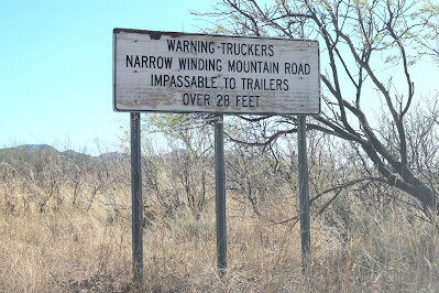
| Don't say you weren't warned. |
When Peter Pan, the little lost boy who wanted never to grow up, found himself on Marooner’s Rock with the tide rising all about him, he looked at the bright side and said stoically, “To die will be an awfully big adventure.” That was in part the view of the author of Meetings at the Edge, a book highlighted in my most recent post. Today I am thinking of adventures in a broader sense, those sought and unsought, adventures geographical and spiritual, with death only part of the picture.
I did not plan to go on a hair-raising expedition on Wednesday. I just had to get out of the house and go somewhere – anywhere – to recover from my most debilitating meltdown since losing the love of my life. Everything – and I mean everything! – seemed overwhelming and unbearable! But I had just bought new tires, mounted only that morning, and I had three-quarters of a tank of gas, so driving down the highway a few miles to Chiricahua National Monument didn’t seem an outlandish idea. Maybe, I thought, on my way down the road, I wouldn’t even go that far. Maybe I’d take the road to Fort Bowie but not even as far as the parking lot, maybe just pulling off at some scenic spot along the way. There was a car behind me as the turnoff got close, though, so instead of slowing down I kept going.
 |
| This way to Pinery Canyon -- |
Then, should I take the road to the Monument or stay on the main road? I chose the Monument road, but at the T intersection, where turning left takes one into the Monument on a paved road and turning right on gravel and sand leads to Pinery Canyon, I turned right. Again, it was the impulse of the moment. The Artist and I had explored partway up Pinery Canyon once but had always “saved” the expedition over the mountains for another time and so had never together faced the terrors of Onion Saddle at the top of the range. Well, I had no plan to face those terrors on Wednesday, either. But the farther I went into the Coronado National Forest, the more committed I became. Accidentally, as it were. Because turning back seems ridiculous at a certain point, don’t you find?
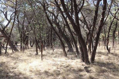 |
| Camping spot along the dry creek bed |
Once in a while I would see a campsite (a couple of small tents, a few clothes hung on a line strung between two trees, a fire circle made of rocks), and very occasionally (less than half a dozen times in what was finally 30 miles or so) another vehicle approached and the driver raised a hand laconically as we passed each other, but most of the time there was only me, the puppy, and maybe a deer off in the trees. I found myself driving well below the 20 mph speed limit. Once I pulled over to walk the puppy and saw that indeed the rocky creek bed was dry as a bone. We went on….
An unplanned adventure doesn’t have to fall from the sky like a tornado, all of a sudden. It can creep upon one gradually, and that was my experience of Pinery Canyon. At one primitive intersection I pulled off when three other cars appeared, two behind me and one ahead, relieved that no one was going my way!
…The road narrowed, and the canyon, now on my left, deepened. Loose rocks in the road presented occasional hazards. Basically, as one ascends the mountain, one is traveling a one-lane road with the potential for two-way traffic.
A sign appeared: Portal, on the other side of the mountains, was still 20 miles off, twenty miles of narrow, winding, climbing mountain road! Going on from this point was a big commitment, as there might not be further opportunities to go back, whatever the road ahead presented. Still not completely sure I wanted to go all the way, I proceeded cautiously. Upon reaching a sign that announced Portal still 19 miles distant, I reflected on the length of a mountain mile. Nothing like a mile on flatlands! But I had hours of light, nowhere I had to be, so I might as well keep going.
You know that feeling at the top of a Ferris wheel when you pause for a nanosecond and then begin the downward plunge? A glance into the terrifying abyss off the side of my road turned my legs to jelly in just that way. Glancing over was irresistible, but I could not look for more than the briefest glance, even if I stopped stock-still. It was too frightening. My photo does not convey the terror of the vertiginous drop!
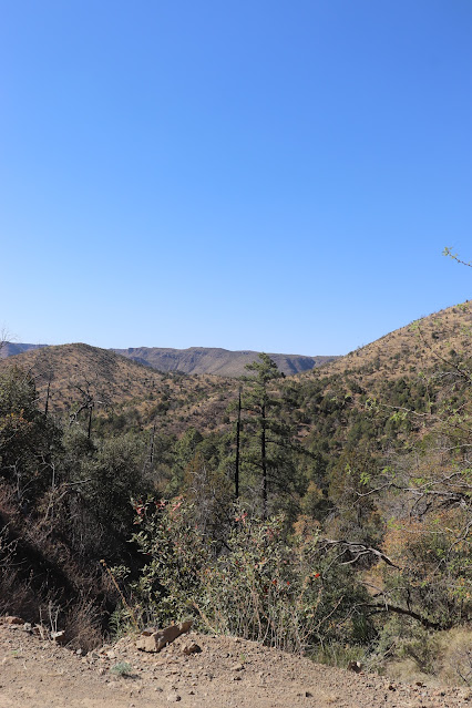 |
| Edge feels all too close |
At one point the road seemed to be leveling off and even descending, and I wondered, looking off to nearby peaks, if I had passed the highest point. Could it be? Hey! Easy-peasy! My relief was short-lived, as the road began to climb once more, twisting like a snake, making blind hairpin turns – and still it went on and on, as if it would never reach the saddle, much less arrive at Portal on the other side of the range.
Sometimes I could see below me a portion of road just traveled. Other times the coming road appeared above, across a chasm, and I prayed there would be no other vehicles coming toward me around the turns.
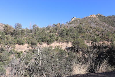 |
| Road to come |
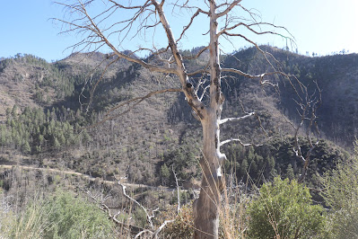 |
| Road traveled |
At last! The highest hairpin! Onion Saddle! There was the Sulphur Springs Valley spread out below me, my Arizona home valley, a distant panorama – and around the turn the San Simon Valley appeared far below, with its long views into New Mexico. I had crossed Onion Saddle! “If we can do this, we can do anything!” I said aloud to Sunny, tears in my eyes.
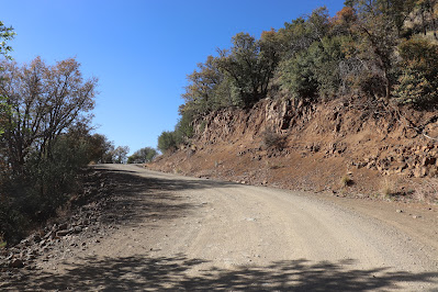 |
| Another hairpin |
 |
| Sulphur Springs Valley |
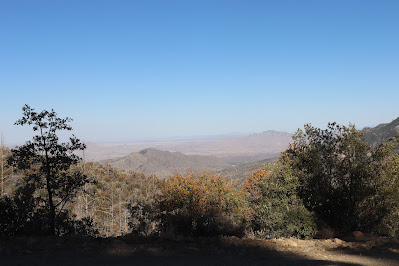 |
| San Simon Valley |
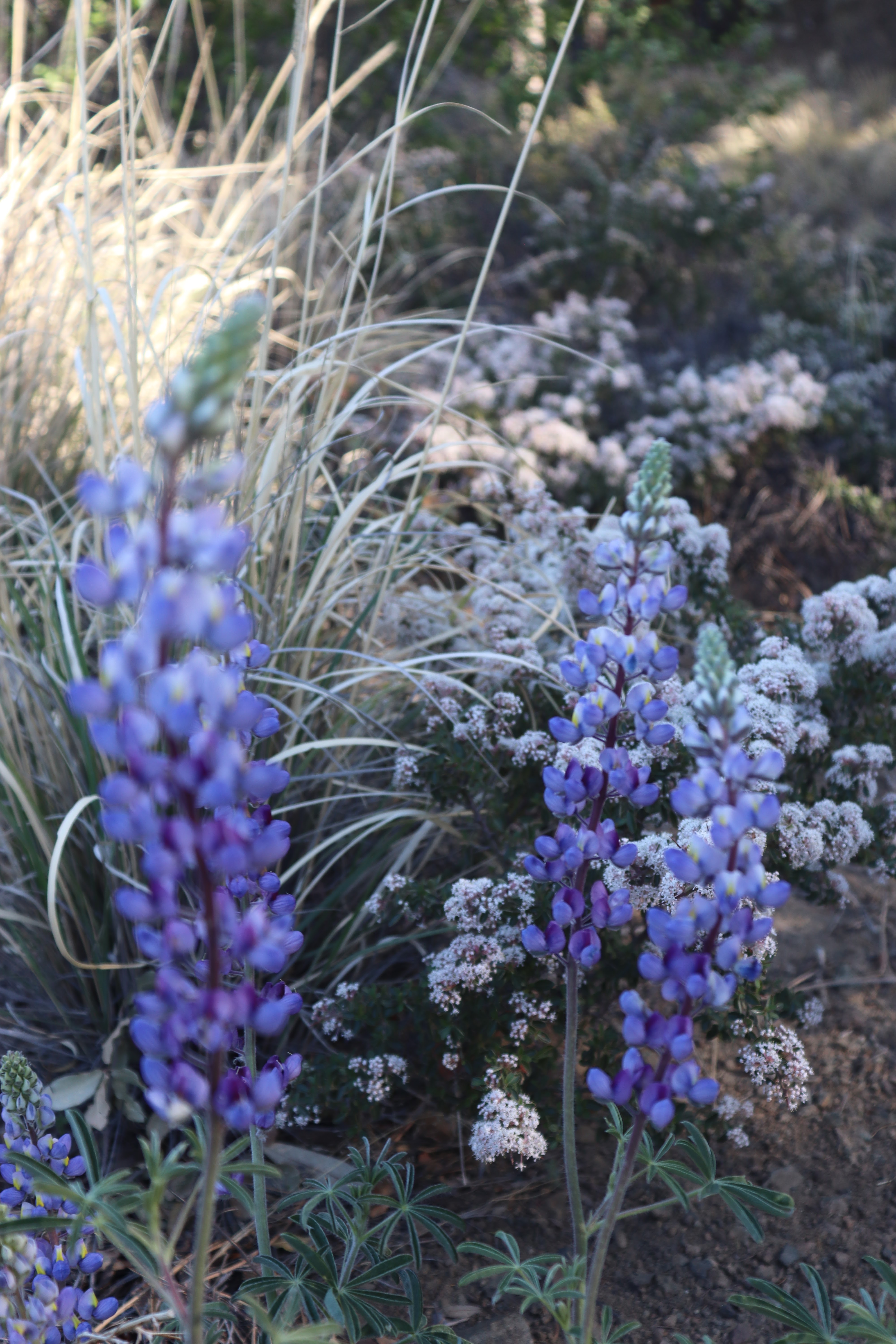
Miraculously finding a pull-off spot a couple of minutes later, I paused to catch my breath, get out of the car, and photograph some lupines in bloom. Another car went by, also going toward Portal, and I was glad to be off the road just then and not pressed to go faster by someone behind me.
Water in the road? Wonderful surprise on the way down! I hadn't counted on seeing and hearing running water.
And a blooming tree! That too looked like some kind of miracle, surrounded by oaks, junipers and pines.
When another decision point appeared, I chose the nine miles to Portal, knowing that the last stretch would be paved and easy. And anyway, Paradise could hardly paradise for me without the Artist, could it?
There were the stunning rock faces that I remembered from a visit to Portal and the Southwest Research Station when the Artist and I had approached it with a visiting friend via I-10, down 80 through New Mexico, and by way of the Portal Road, a long, roundabout way (though they are all “roundabout,” in one way or the other) but much less hair-raising than going over the mountains. My road would be basically downhill from here on. Downhill in low gear, of course, careful not to slide on loose rock.
The most extraordinary sight, however, appeared when I was a scant few miles from Portal, and it was one I did not capture with my camera. Imagine, if you will, seeing a turquoise swimming pool, like something out of a David Hockney painting, and a woman lazily stroking her way from one end to the other -- in a setting such as this!
Well, I shed many, many tears while crossing the mountains, thinking of how the Artist and I had talked of making this daring trip sometime and how he would have loved the long panoramic views and how precious it would have been to share the heart-stopping fears, as well as the soul-expanding thrills of the mountain road, with all its ups and downs and edges and startling sights. How can my own experiences ever again be fully real without him?
And I thought as I wound my way up and down the mountains that grief is a mountain road: There is the abyss of utter loss, the chasms of loneliness, the heart-stopping fears of all that lies ahead. Will I be able to do this alone? For how long? There are also glimpses of beauty, both in memories and overflowing gratitude. But the road seems endless! And just when you think it’s leveling off, it becomes once again a narrow, rocky climb, and sometimes you need to stop and have a meltdown -- but then you must go forward again, because there is no turning back.
I don’t know if the mountain road of mourning has a destination, some spiritual version of Portal, with a welcoming café, cool beverages, and happy families on vacation. It would be lovely to think a reunion awaited at the end of the trail. Or maybe (and I think more likely) the spiritual road just keeps going as long as one lives but comes gradually down off the mountain and takes a gentler route, with only occasional blinding storms. Really, I don’t know. I guess I’ll find out.
All I can say for certain is that I don’t envisage making the physical drive over the Chiricahua mountain range again, and it’s a foregone certitude that I will never again lose the love of my life. But my afternoon of despair did give way to a minor triumph of sorts. I crossed Onion Saddle and lived to tell the tale.
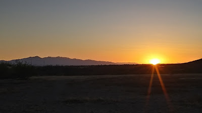 |
| Taking paved roads home through New Mexico at sunset |